


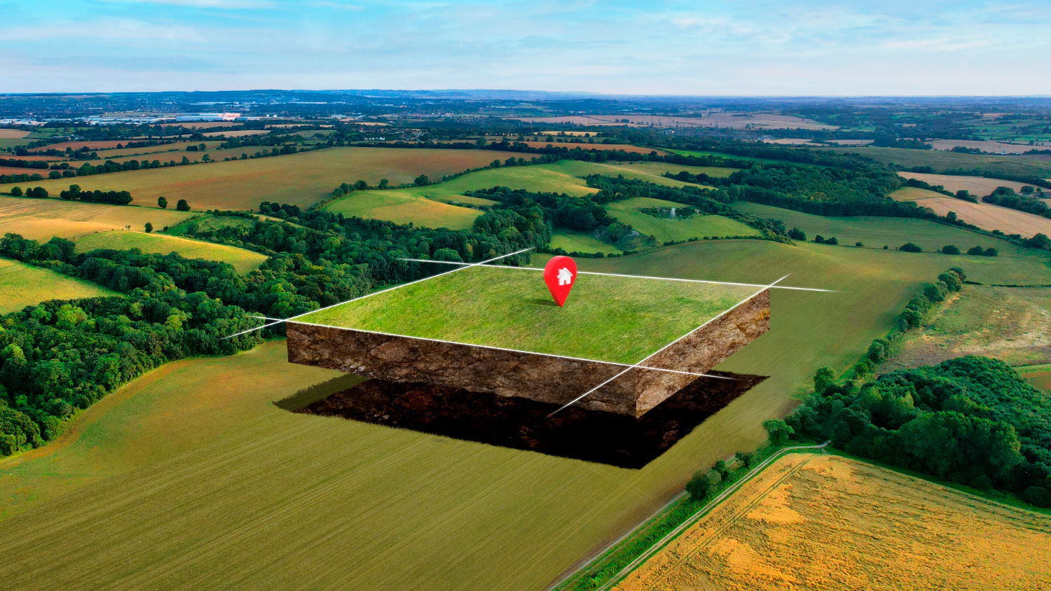
What is Land Surveying ?
Land surveying is the indispensable art and science of accurately measuring and mapping the Earth's surface.
It encompasses a wide array of functions, from establishing property boundaries to aiding in construction and engineering projects,
and from creating detailed maps to resolving legal and land-related issues. This practice, rooted in precision and geodetic principles,
relies on advanced instruments and technologies to collect and analyze data, shaping the foundation of responsible land management and development.
In this exploration, we delve into the diverse realms of land surveying, shedding light on its vital role in modern society.
Property Ownership and Boundaries
Surveyors are essential in establishing and maintaining accurate property boundaries.
This is crucial for property ownership and helps prevent land disputes.
Land Registration

Surveyors provide the necessary data for land registration,
ensuring that property ownership is legally documented and recognized by the government.
Infrastructure Development

Surveyors are integral to infrastructure projects, such as roads, bridges, and buildings.
They ensure that these projects are built in the correct location, alignment, and according to legal boundaries.
Environmental Conservation

Surveyors are involved in assessing and monitoring changes in the natural landscape.
This is important for environmental conservation, land-use planning, and responsible resource management.
Legal Matters

Survey data often serves as critical
evidence in resolving land-related legal disputes in Sri Lanka, ensuring fair and just outcomes.
Geospatial Information

Surveyors contribute to the creation of
geospatial data and maps used for navigation, urban planning, and disaster management.
Development Planning
Survey data informs urban and rural development planning,
enabling government agencies to make informed decisions about land use and development.
Disaster Preparedness

Accurate topographic and geospatial information from surveys helps in disaster preparedness
and response, particularly in a country prone to natural disasters.